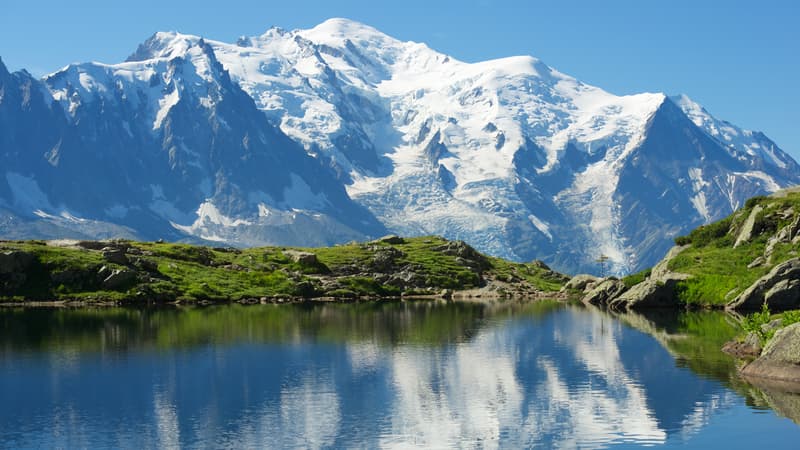
It became a habit. Since 2001, expert surveyors have launched an attack on Mont-Blanc approximately every two years to verify the exact altitude of its summit.
The president of the commission in charge of this twelfth measurement of the highest mountain in the Alps, Denis Borrel, will be part of the expedition that departs this Thursday for four days. He is accompanied by no less than fourteen participants, both specialists and technicians, and seven guides.
“We will reach the summit on Friday. Then, it will take between half an hour and three hours, depending on the weather conditions, to make different measurements,” explains this experienced mountaineer, trained and acclimatized in recent days at around 4,000 meters. to “produce red blood cells and cope with the lack of oxygen.”
Find the exact vertex point
To know the size of Mont-Blanc, you must first find its highest point, since the summit ridge is almost at the same horizontal level at more than a hundred meters long.
“We pass through this area pointing a GPS attached to a stick as close to the ground as possible. Thanks to a tablet that tells us the altitude located under our antenna, we determine the exact summit,” summarizes this expert topographer from Haute-Savoie.
Once the correct location is identified, the rod holding the GPS is pushed towards it. “We obtain altitude corrections in real time through other GPS devices, static and anchored in the valley, which send their signals through the internet and satellites.”
But the value remains only approximate at this time, until the National Institute of Geographic Information (IGN) makes minor revisions to the height.
“Based on the measurement carried out on Friday, the IGN will have to refine the calculation taking into account the real zero level below this point,” explains Denis Borrel. “Specifically, this zero altitude differs slightly from sea level under rock masses, such as mountains, due to the Earth’s magnetic field.”
Taking this parameter into account, the new official size could be announced on October 5 at a press conference.
A 3D model of the summit.
In 2021, the giant of the Alps stood exactly at 4,807.81 meters, that is, 92 centimeters less than previous readings. “A natural phenomenon,” according to Denis Borrel, who rejects the idea that we can attribute this decline to the effects of global warming:
“It all depends on the influence of the wind, which shapes the summit depending on which side it blows from. Scientists have not drawn conclusions and consider that the top of Mont Blanc is a refrigerator, without significant thaw having been observed.”
To ensure this, the expedition must, however, carry out further data collection. A so-called “kinematic” GPS is provided to map the different points of the summit snow cover. “The idea is to calculate the volume of snow and ice compared to previous years to see if there is a correlation between a possible rise or fall of Mont-Blanc,” continues the expert.
If the weather is not too unpredictable, a drone, for which the small troop had to apply for prefectural authorizations, must scan the area and take several photographs using a photogrammetry system.
“Together, these photographs will give us a 3D model of the summit using billions of points numbered in approximately fifteen minutes,” explains Denis Borrel.
Useful representations for the scientific world that will probably be exploited by glaciologists or climatologists, capable of observing whether the roof of Western Europe also suffers the full weight of climate change.
Source: BFM TV


