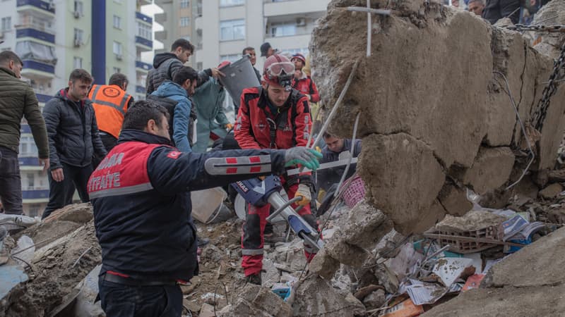
While the earthquakes in Turkey and Syria have claimed more than 17,000 lives according to the latest figures, the Turkish Disaster and Risk Management Authority launched the International “Space and Major Disasters” Charter on the morning of February 6. Within hours, more than 11 space agencies were mobilized to map the disaster area and direct aid and NGOs to priority areas.
Created in 1999, the Charter was launched at the initiative of the National Center for Space Studies (CNES) and the European Space Agency. It now brings together 17 member agencies.
In the current case of Syria and Turkey, different satellites have been mobilized. As soon as an authority requests the activation of the Charter, a competent person within the program activates the programming of the most suitable satellites among the agencies that comprise it. Here optical and radar satellites (which allow, in particular, to take night images) were requested and the first images were sent in a few hours.
The maps provided to the rescue teams gather several pieces of information: maps in color format to facilitate their interpretation, an inventory of blocked roads, but above all an indication of the most affected areas to specify where to send emergencies as a priority. Satellite images and maps are also useful for NGOs to find out where people gathered after the disaster (stadiums, parks, etc.) to bring food and water.
an apolitical letter
Among the satellites mobilized for this disaster we find the optical satellites of China and the United States or the radar images of the German and European space agencies. As regards France, CNES has mobilized three satellites: Spot, Pléiade and Pléiade Neo. For example, Pléiade allows you to have a detailed image at 50 cm and Neo at 30 cm and to know, for example, if a building has been destroyed. If countries, not always friends, offer help, it is also because “the Charter was designed to be apolitical and for humanitarian purposes”, specifies Emilie Bronner, far from the geopolitical issues of space.
The images are also sent to authorities so they can estimate the economic cost of the damage. The system established by the Charter is activated for ten days. In the longer term, satellite images are also useful for the reconstruction phase thanks to the “Reconstruction Observatories” initiative.
Source: BFM TV


