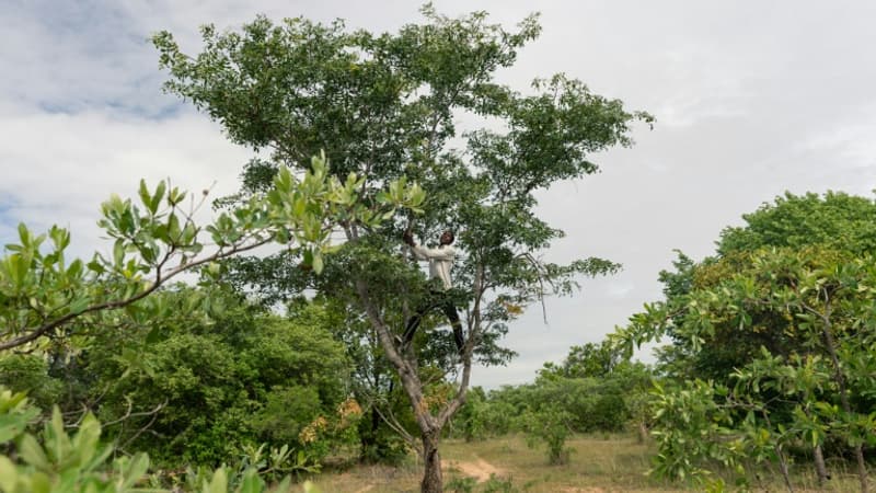
Nearly 10 billion trees in sub-Saharan Africa. This is the estimated number thanks to a system, which is based on satellite images and artificial intelligence, developed by a team of researchers, including French. Thus they were able to estimate the amount of carbon stored by these trees, reports France Inter.
No such calculation had been done before, at least over such a large area. Either the detail was missing or the computer power was insufficient. Thus, 9,900 million trees store 0,840 million tons of carbon, in this arid zone that is Sub-Sub-Saharan Africa, which stretches from the Atlantic Ocean to the Red Sea. All these results were published in a study published in the scientific magazine Nature On March 1
Such a census was possible thanks to the combination of various technologies. NASA provided the high spatial resolution (50cm) satellite images, researchers at the University of Copenhagen imagined the algorithm that makes the AI work, and French researchers provided the technical side like measurements or ground references. The method consists of analyzing more than 300,000 images, counting each tree that appears in each of them, and then calculating the amount of carbon stored in each tree by studying its composition and density.
Generalize the method
This titanic work aims to monitor deforestation and tree regeneration, since the protection of biodiversity implies, in particular, a precise census. “Trees located in drylands store carbon, provide valuable ecosystem services and support the livelihoods of local populations (…) Knowing their distribution, carbon stocks and density is also essential for ecological protection, the mitigation of climate change and the restoration of ecosystems in dry areas”, explains the Commissariat for Atomic Energy and Alternative Energies (CEA) in a note accompanying the study.
The next step will be to test this method for denser forests such as equatorial forests. This would require an even finer resolution capable of zooming to 30cm.
Source: BFM TV


