Even if the government has made a move to lower the bill, going to the gas pump is still hurting many drivers’ wallets. However, the car is still a necessity for many and public transport is not always a possible alternative. Google has understood and wants to contribute.
The American giant embarked several months ago on a major operation to help reduce CO2 emissions, of which road transport is one of the recognized causes. It is about adding more ecological modes of travel in Google Maps (travel time by bicycle, public transport or even on foot), adding information about electric charging points, to raise awareness among users. Now it adds the possibility of opting for a fuel-efficient route and knowing the savings made.
Drive more to consume less
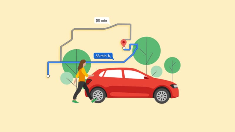
The new option has been tested in the United States, Canada and Germany for several months. It now reaches some forty European countries, including France. This is to offer Google Maps users the most economical route between the place of departure and arrival. A desire to breathe an air of eco-responsibility also to drivers with trips that are good for the planet and for their savings. Because these routes make it possible to reduce fuel consumption and carbon emissions based on the topography (going up or down), the authorized speed, possible traffic jams, etc.
This results in a proposed route that is often a little longer by a few minutes, but can save up to 30% on fuel. Reported in euros, this can be more than interesting for people who use their vehicle on a daily basis. However, the Mountain View company indicates that, if this were the case in most cases, it would not be short journeys (less than 5 km) where the time savings ratio would be almost non-existent.
A route adapted to each vehicle
Of course, it may happen that the fastest route is the cheapest and in this case no alternative will be offered. The application will show, if applicable, the time difference and the estimated fuel economy, potentially also in euros if the vehicle information has been entered (thermal, hybrid or electric, gasoline or diesel, make, size, etc.). Important data for the algorithm to understand that a diesel engine will consume less than a gasoline engine at higher speeds, but on rural roads or in the city the opposite occurs. This option will arrive in the coming weeks.
To achieve this result, Google relied on its mapping service and real-time traffic reports on Google Maps, but also on data from the US Department of Energy’s National Renewable Energy Laboratory (NREL), as well as from the European Environment Agency. .
Google announces that in the three countries where economic routes have been proposed, a “reduction of 500,000 tons of GHG emissions has been registered, the equivalent of 100,000 thermal cars withdrawn from circulation”.
How to enable the economic route option in Google Maps?
- In the settings of the updated Google Maps application, indicate the address of departure and arrival.
- Click the three vertical dots on the right to choose your routing options (avoid tolls, highways, or ferries) and check the “Prefer Low Consumption Routes” box. You can also indicate the engine of the vehicle.
- Different routes are displayed (fastest, free, cheapest, etc.). The economy route gives an estimate of the additional time expected and the fuel economy that will be achieved.
Source: BFM TV


