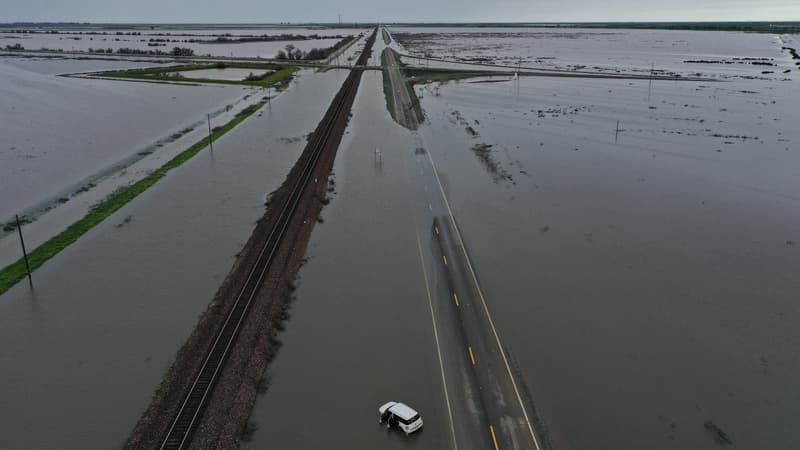
The American West has been experiencing record snowfall and rainfall for weeks now, so much so that the landscapes, in some places, have been completely transformed.
This was demonstrated by Maxar Technologies, a Colorado-based space technology company, thanks to satellite images. Comparing, for example, the level of the Oroville artificial lake in California between July 16, 2022 and March 15, 2023, the effects of flooding are evident.
Images from Maxar Technologies also highlight the degradation of crops in the state. By March 21, the fields were completely inundated and muddy compared to the previous year.
A very rainy winter
The recent storms in California are, like most others this season, fed by an “atmospheric river,” a gigantic rain corridor that carries stored water vapor from the tropics, often around Hawaii.
While it’s hard to make a direct link between these storms and climate change, scientists regularly explain that warming increases the frequency and intensity of extreme weather events.
The most populous state in the country, California, suffered a particularly wet winter. In January in particular, a series of storms caused multiple floods, landslides and falling trees, killing 20 people.
Source: BFM TV


