Will it soon be impossible to get lost in Châtelet, or even anywhere in the world? In any case, this is what Google wants with its Google Maps navigation service. The company introduced several new features and relies heavily on augmented reality. Getting from point A to point B should soon be a healthy journey.
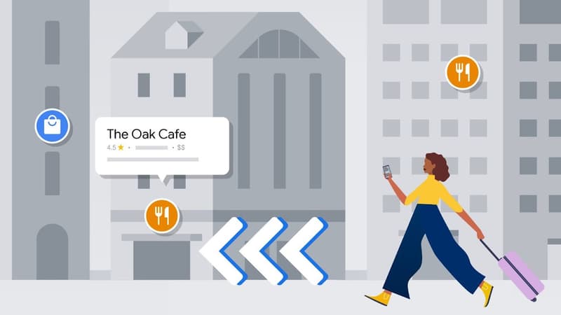
Google says in its blog post that it wants to make its service “an immersive and intuitive map that reinvents the way you explore and travel, helping you make more actionable decisions.” To do this, the American company will launch, among other things, a new augmented reality navigation tool, which will allow users to locate everything around them.
Find your way around an airport or train station
Thanks to a new functionality of the application, the users simply click on the icon “Appareil photo” en haut à right de leur écran, et à pointer leur téléphone vers les vitrines, immeubles ou panneaux pour découvrir ce qui se trouve near. This f is already available in Paris, London, New York, Los Angeles, San Francisco and Tokyo, and will soon roll out to other cities around the world.
But augmented reality will not only be accessible outdoors. Google indicates that more than 1,000 airports, stations and shopping centers, especially in Paris, will be able to benefit from the “Live view” tool. It remains to be seen if all places will be affected, particularly the capital’s metro. The tool has already existed since 2021 in the United States, in Zurich and in Tokyo and allows, in particular, to point in the direction of the nearest toilets or taxi stations.
In some cities, Google Maps will offer its users a virtual 3D view and details of public buildings: it will then be possible to see a specific location, for example, to locate the correct entrance. According to information from Tech&Co, the Paris City Council is in talks with Google to install this service in the capital.
More functions for electric cars
The map service has also decided to improve its content for users of electric cars. When searching for driving directions, Google Maps will show the user the best possible route, based on traffic and the car’s charge level.
Google Maps will also make it possible to locate the stations that have fast charging points and the surrounding supermarkets that have adapted terminals. Technologies implemented to keep up with the increase in electricity in the automotive sector.
Source: BFM TV


